Insurers knew the risk - homeowners didn't
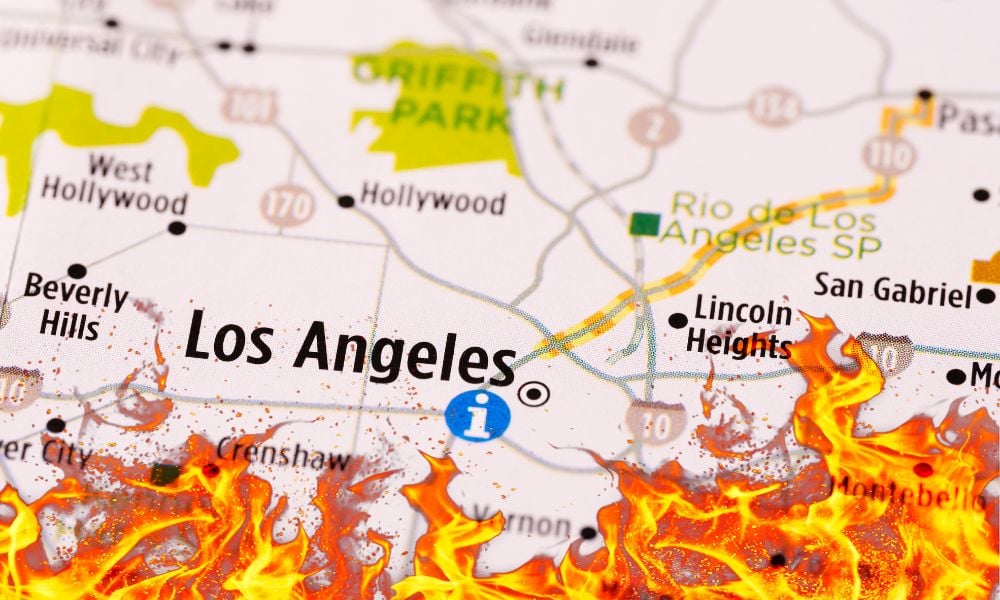
Despite the availability of advanced wildfire risk data, many Los Angeles homeowners were caught off guard when the recent Eaton Fire destroyed thousands of homes outside designated fire hazard zones. The disconnect between official hazard maps and real risk assessments has left residents grappling with mixed signals regarding their vulnerability.
According to an analysis by Bloomberg Green, more than 40% of the 11,000 homes lost in the fires last month were located outside state- or local-designated “very high” fire hazard severity zones. In Altadena alone, approximately 4,500 homes burned beyond the mapped high-risk areas, meaning homeowners were not required to receive fire-related disclosures during property transactions or comply with mitigation measures such as brush clearing.
Private-sector insurers and risk assessment firms, however, had identified the elevated threat in these areas. CoreLogic Inc., a company specializing in property data analytics, had rated most homes in Altadena as high or very high risk. This data, though available to insurers, was not accessible to homeowners.
Gaps in risk communication
The disparity in risk communication is a growing concern as climate change intensifies natural disasters. While state fire maps are publicly available, more precise private-sector risk assessments are typically sold to businesses rather than shared with the general public. First Street Technology Inc., which provides climate risk estimates for individual properties, had assigned a fire risk score of at least seven out of 10 to 95% of homes that burned in Altadena. These scores are integrated into real estate listings on platforms like Zillow and Redfin, but many homeowners either overlook or underestimate their significance.
Risk perception further complicates the issue. Experts note that many individuals discount potential hazards unless they have experienced them firsthand. Anthony Leiserowitz, director of the Yale Program on Climate Change Communication, explained that numerical risk assessments often fail to resonate with homeowners. “When you give people numbers like this, they tend to numb,” he said. “Especially if they’re not based directly on someone’s own experience.”
Homeowners question intent
State and local officials emphasize that fire hazard severity zones are determined based on long-term environmental factors rather than short-term risk projections. This approach can create a false sense of security for homeowners just outside these designated areas. The Palisades Fire, which leveled entire neighborhoods, demonstrated this risk, with 15% of the homes destroyed classified as only having moderate fire risk according to CoreLogic’s assessments.
Meanwhile, insurers are taking notice. Companies have been withdrawing from high-risk areas, with State Farm canceling nearly 70% of policies in a Pacific Palisades Zip code before pausing non-renewals due to a state moratorium. While insurance costs could serve as a warning sign for homeowners, many instead view rising premiums as a reflection of industry greed rather than increased danger.
“I’m not seeing a huge level of anxiety happen,” Marcy Weinstein, a real estate agent in fire-prone Newport Beach, south of LA in Orange County, told Bloomberg. “What we are seeing is backlash toward the insurance being so difficult to get. You’re trying to get your dream home, and it’s difficult for insurance to match up.”
Do you have something to say about the recent findings? Share your thoughts in the comments below.


